Arctic Meteorology, Live Optical Radar & 250 km Microclimate Routing
Cloudy in Tromsø Tonight? How Live Sky Cams Beat Weather Apps
Why consumer smartphone apps (Apple Weather, Yr.no & My Aurora Forecast) trap travelers inside Tromsøya's 1,091 mm maritime cloud dome—and how to use our free 150+ multi-angle live aurora webcams and NOAA SOLAR1 telemetry to find clear skies across Kvaløya, the 338 mm Skibotn rain shadow, and Kilpisjärvi, Finland.
⚡ 3 Reasons Never to Cancel Your Aurora Night Based on a Smartphone Weather App
- The Single-Coordinate Coastal Trap (1,091 mm vs. 338 mm): Apple Weather and default Yr.no forecasts sample only coastal Tromsø Island (1,091 mm annual precipitation). Just 70 to 110 km east behind the 1,800m Lyngen Alps, the Skibotn Valley (69.35°N) sits in a dry 338 mm continental rain shadow —visible 24/7 on our Live Multi-Angle Aurora Sky Webcams Hub.
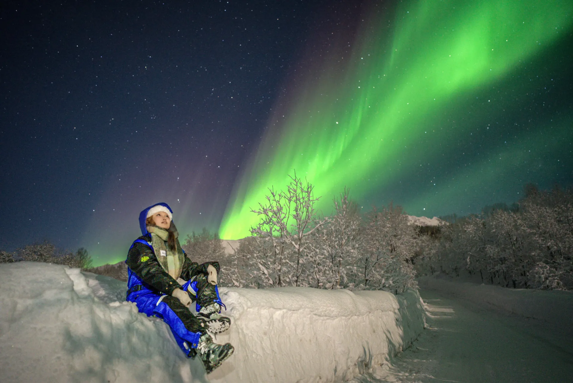
- The "Kp 0 / 0% Probability" App Fallacy: Consumer aurora apps calculate viewing probability using the delayed 3-hour Planetary Kp-index designed for mid-latitudes. Because Tromsø sits at 67.4°N geomagnetic latitude directly underneath the permanent Auroral Oval, overhead displays erupt at Kp 0 to Kp 1 the moment the live NOAA SOLAR1 IMF Bz vector tilts southward (negative nT).
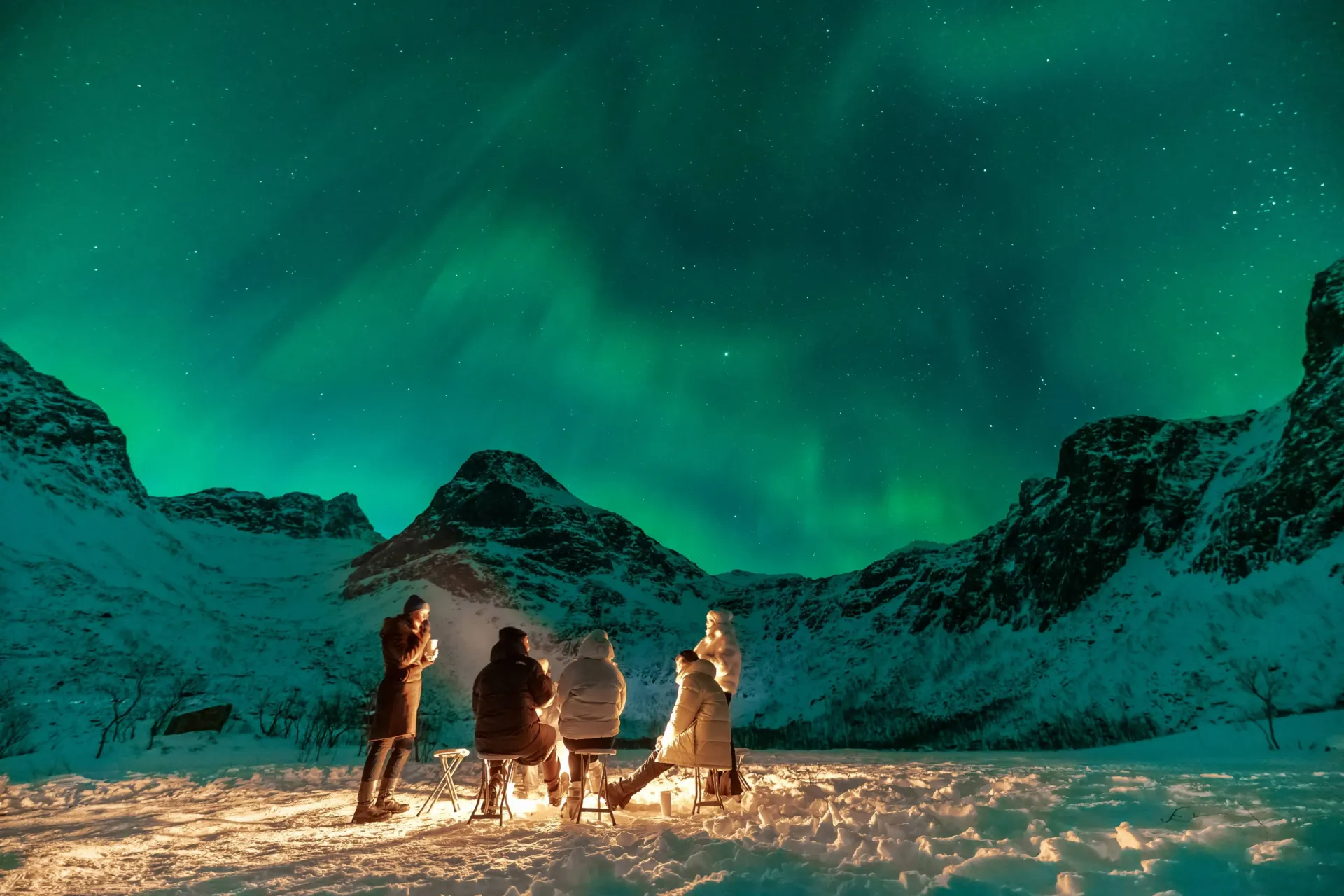
- Why "Paid PRO" Weather Apps Still Leave You Stranded: Subscription apps that charge tourists to unlock cloud maps still cannot drive you across a -25°C Arctic mountain pass. Our Nightly 8-Guest 2026 Mercedes-Benz Sprinter 319 4×4 Chases (2,450 NOK) combine 100% free live observatory telemetry with a 250 km tri-zonal operational radius (94% 3-year sighting rate).
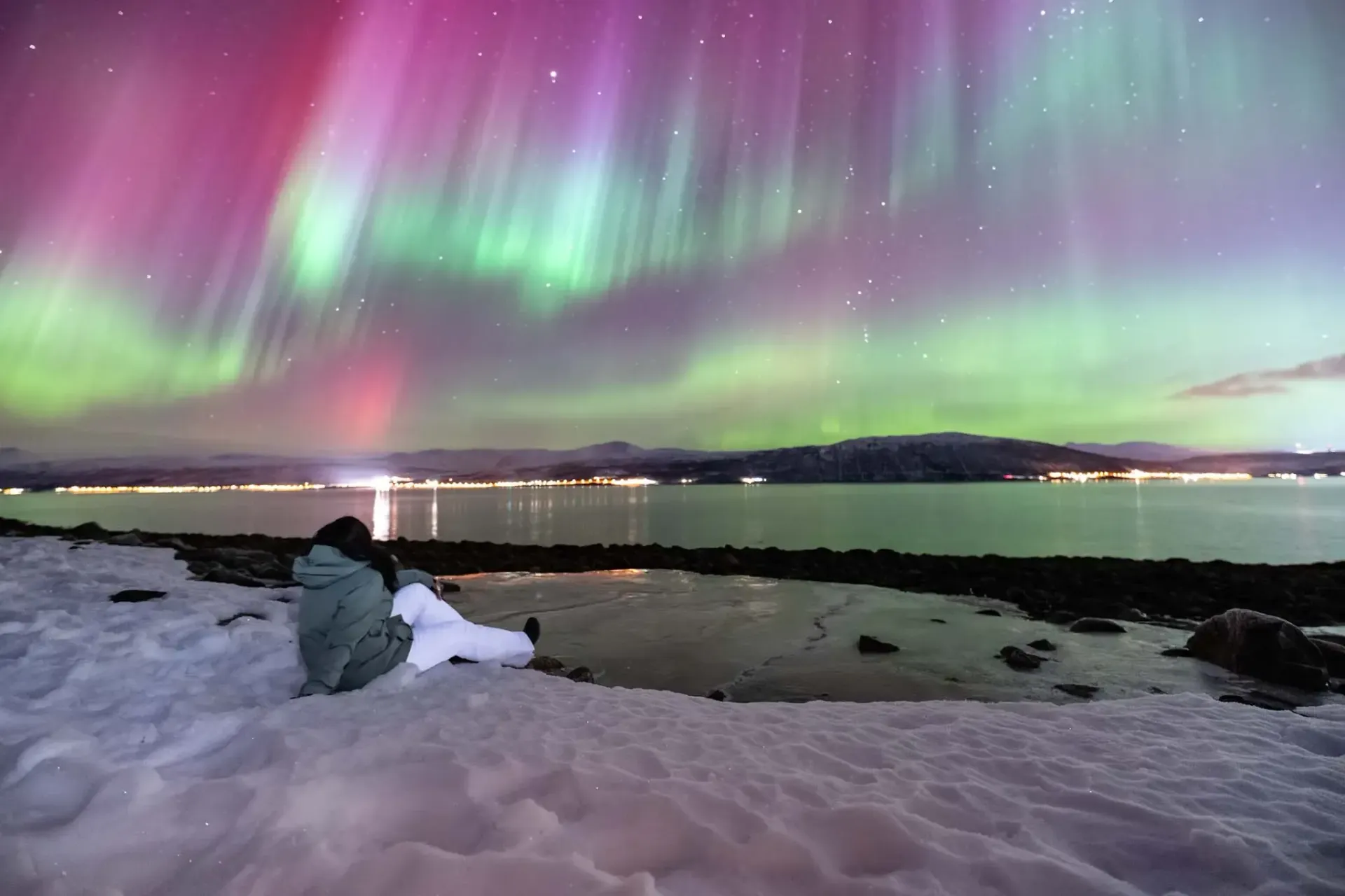
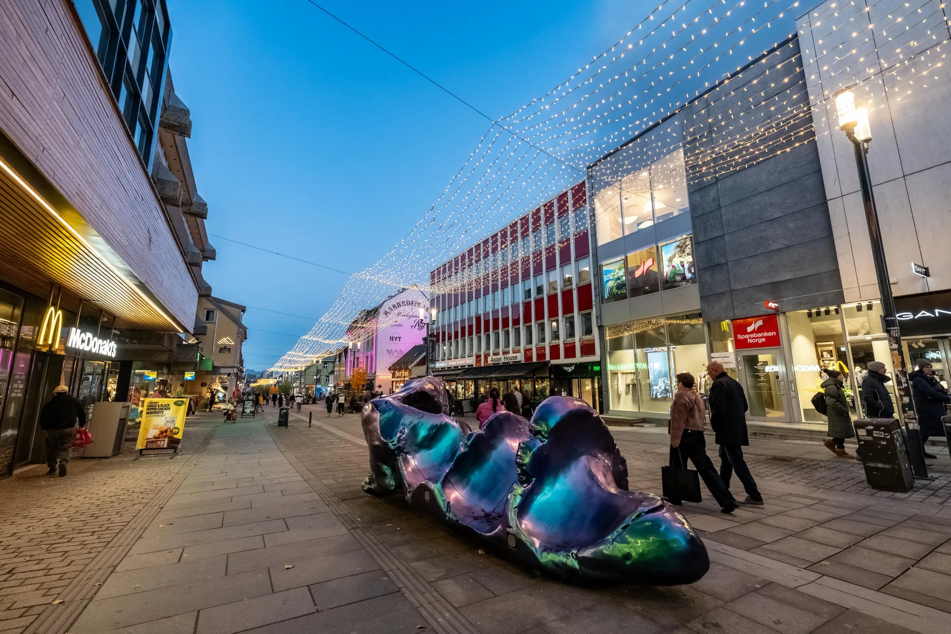
Every winter afternoon between 14:00 and 18:00, thousands of visitors standing in hotels along Storgata or aboard cruise ships at Breivika Quay 24–25 open their phone weather app, see a wall of grey rain or snow icons over Tromsø, and assume tonight's Northern Lights are impossible. In reality, coastal Tromsø weather has almost zero correlation with sky clarity 60 to 150 kilometers away. That is why we built the Alshemal Norway Live Aurora Sky Webcams & NOAA Space Weather Radar —giving every traveler free, unpaywalled access to the exact scientific all-sky domes and mountain-pass sensors our dispatch team uses every night.
1. Coastal Orographic Lift vs. The 338 mm Lyngen Alps Rain Shadow
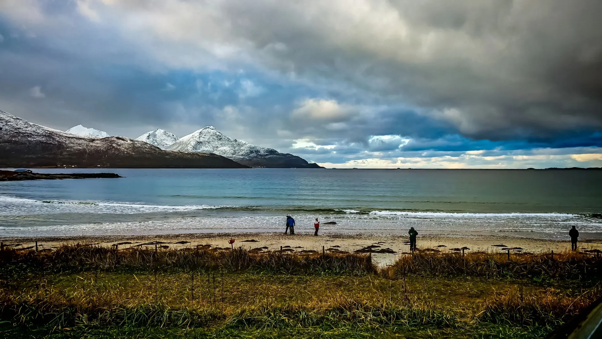
Tromsøya (69.65°N) is surrounded by warm North Atlantic Gulf Stream currents. When moist westerly winds blow in from the Norwegian Sea, they hit the coastal mountains of Kvaløya and mainland Troms, rising, cooling, and condensing into stubborn low-altitude stratus clouds and wet snow over downtown Tromsø (recording 1,091 mm of annual precipitation).
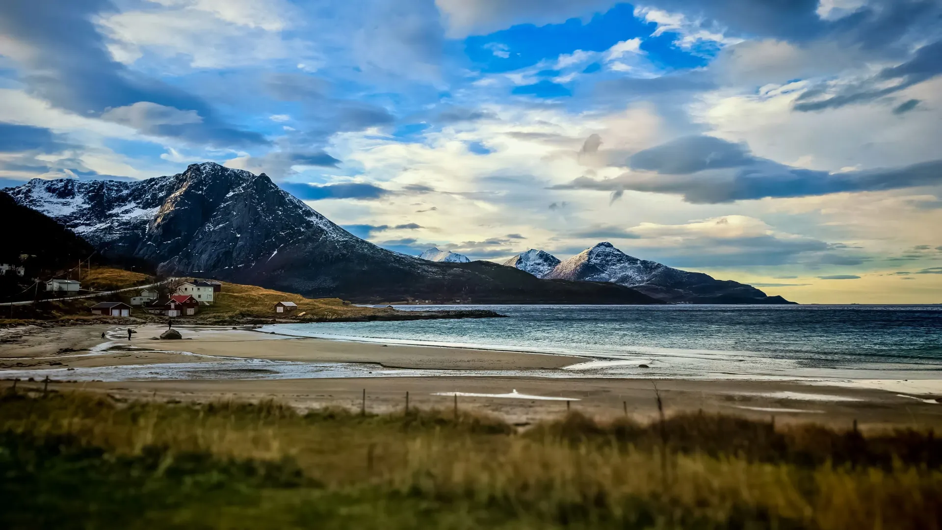
However, as those air masses push east over the jagged 1,800-meter peaks of the Lyngen Alps, the mountains wring the moisture out of the atmosphere. On the leeward eastern side in the Skibotn Valley (69.35°N) and along the E8 plateau into Kilpisjärvi, Finland (69.05°N), descending dry air creates an extraordinary continental microclimate with just 338 mm of annual precipitation. When you open our Live Aurora Sky Webcams Hub and toggle between the Tromsø UiT 3K Sky Station and the Skibotn Astrophysical Observatory 185° All-Sky Domes (ASC01 & BACC #5), you can watch pinpoint stars and green auroral arcs shining over Skibotn at the exact minute snow is falling in downtown Tromsø.
2. The 3-Step Live Webcam Check Before You Step Outside Tonight
Instead of relying on coarse 9-kilometer numerical weather models, follow our guides' 60-second pre-departure verification protocol on /live-aurora-forecast-webcams-tromso:
Step 1 — Check Live NOAA SOLAR1 IMF Bz & Solar Wind Velocity: Look at the 4 live gauges at the top of our radar page, streaming 1-minute telemetry directly from the NOAA SOLAR1 spacecraft at Lagrange Point L1. Ignore low Kp numbers; whenever IMF Bz tilts negative (Southward, e.g., -2.5 nT to -12.0 nT) and solar wind speed exceeds 400 km/s, magnetic reconnection is actively feeding the Tromsø oval. Read our full technical breakdown in Space Weather in Tromsø: Kp Index, Bz & Solar Wind Guide.
Step 2 — Compare Our 4 Norwegian Space Weather All-Sky Domes: In Tab 1 ( All-Sky & 4-Angle Hubs ), compare the outer Atlantic coast at Andøya ALOMAR Space Observatory (69.28°N), central Tromsø at Ramfjordmoen EISCAT (69.59°N), and the inland rain shadow at Skibotn TGO (69.35°N). If coastal winds are pushing clouds inland, outer Kvaløya and Sommarøy often open up first; if a frontal system stalls on the coast, Skibotn and the Finnish border remain crystal clear.
Step 3 — Audit the E8 Skibotn–Finland Mountain Pass & Dress for -25°C: Switch to Tab 5 ( E8 Skibotn–Finland ) and Tab 3 ( Finland & Lapland ) to inspect live cameras at Helligskogen, Galgo, and Kilpisjärvi Saana Fell. Remember that clear inland skies allow radiant heat to escape into space, plunging temperatures from 0°C on the coast down to -20°C to -30°C at the border. Every guest on our Northern Lights Small Group + Finland Crossing (Max 8) is equipped with a complimentary -40°C Regatta Thermo-Cruiser expedition suit(Adult XS–XXXL & Youth 110–145 cm, confirmable right up until departure day)—see our Tromsø Arctic Layering Guide.
Tri-Zonal 250 km Microclimate & Live Camera Verification Matrix
- Zone A · Outer Coastal Fjords (Kvaløya & Sommarøy)
- Live Cams: UiT West 3K, Sandnessund Bridge (`3000979_1`) & Andøya ALOMAR All-Sky Dome (`69.28°N`) · Best when easterly/southerly winds clear the outer archipelago ( Coastal Aurora Chase)
- Zone B · Lyngen Alps Rain Shadow (Skibotn Valley)
- Live Cams: Skibotn TGO 185° All-Sky Domes (`ASC01` & `BACC5`) + E8 Valley Cams (`3000983_1/2`) · 338 mm dry microclimate shielded by 1,800m peaks
- Zone C · Continental Tundra (E8 Kilpisjärvi & Lapland)
- Live Cams: Helligskogen (`3000158_2`), Galgo (`1900179_2`), Kilpisjärvi Saana Sky (`C1453508`) & Muonio FMI All-Sky Dome · Requires physical passport/EU ID
- 8-Guest 4×4 Fleet vs. 50-Seat Commercial Coaches
- 2026 Mercedes-Benz Sprinter 319 4×4: Exempt from EU 561/2006 tachographs (≤9 seats), accessing 125+ dark-sky turnouts with 24h RAW/JPEG cloud photo delivery
Frequently Asked Questions: Cloudy Tromsø Forecasts & Live Sky Webcams
Can we still see the Northern Lights tonight if Apple Weather or Yr.no shows 100% clouds in Tromsø?
Yes. A 100% cloud forecast for Tromsøya only describes the coastal island grid cell. By routing 70 to 250 km inland behind the Lyngen Alps into the Skibotn Valley (338 mm annual precipitation) or across the E8 border into Kilpisjärvi, Finland, our 8-guest 4×4 Sprinters achieve a verified 94% 3-year sighting rate. Check the live inland sky right now on our Live Aurora Sky Webcams Hub.
Do we need to bring our passport if tonight's clear sky window is on the Finland webcams?
Yes. Whenever coastal Norway is overcast and our live E8 border cameras at Helligskogen, Galgo, and Kilpisjärvi show clear continental skies, our 8-Guest 4×4 Northern Lights Chases cross directly into Finnish Lapland. Always bring your physical passport (or national EU/EEA ID card) on every evening aurora tour.
What happens if we book a tour and severe Arctic weather closes all mountain passes?
All direct bookings with Alshemal Norway include a 100% full refund for any cancellation submitted up to 24 hours prior to departure with zero administrative fees, and if we ever cancel an expedition due to unsafe road closures, you receive an immediate 100% refund or free rescheduling.